Barometric Sensor Applications in Mobile Adventure Games for Elevation-Based Puzzle Solutions and Map Layering Techniques
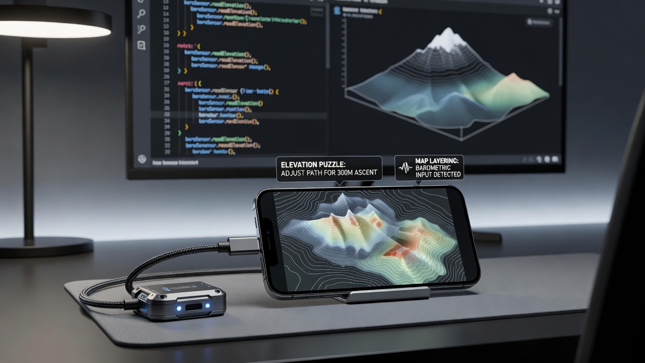
Barometric sensors measure atmospheric pressure to calculate altitude in mobile devices, and developers integrate these readings into adventure games for puzzles that respond to vertical movement. Players climb virtual cliffs or descend into caves while the game registers real-world elevation shifts through the phone's hardware, which unlocks mechanisms or reveals hidden paths based on precise height data. Research from the University of Waterloo indicates that these sensors provide accuracy within a few meters when calibrated properly, allowing games to layer environments that change dynamically as users move up or down stairs or hills in their physical surroundings.
How Barometric Sensors Enable Elevation Puzzles
Game engines read pressure changes and translate them into in-game actions, so a puzzle might require the player to ascend a certain number of meters to align platforms or trigger switches that only activate at specific altitudes. Developers combine this input with GPS for broader positioning while the barometer handles fine vertical details, and this fusion creates challenges where timing a climb coincides with weather or time-based events in the game world. Figures from industry reports show that titles released around July 2026 increasingly rely on this technique because most flagship phones include the necessary hardware without additional cost to users.
One study revealed that calibration routines built into games adjust for local weather variations, which prevents false readings during rapid pressure shifts caused by storms. Players often discover that standing still lets the sensor stabilize before attempting a complex elevation sequence, whereas moving too quickly can introduce noise into the data stream. And because the sensor operates passively, battery impact remains minimal compared to constant GPS polling.
Map Layering Techniques Powered by Pressure Data
Map layering in these adventure titles stacks multiple elevation planes that the barometer distinguishes automatically, so a single outdoor area can contain underground tunnels, ground-level paths, and elevated walkways that appear or disappear based on detected height. When the player moves between layers the game swaps visual assets and collision data in real time, which produces seamless transitions without manual menu selections. Observers note that this approach reduces screen clutter because only the relevant layer renders at any given moment.
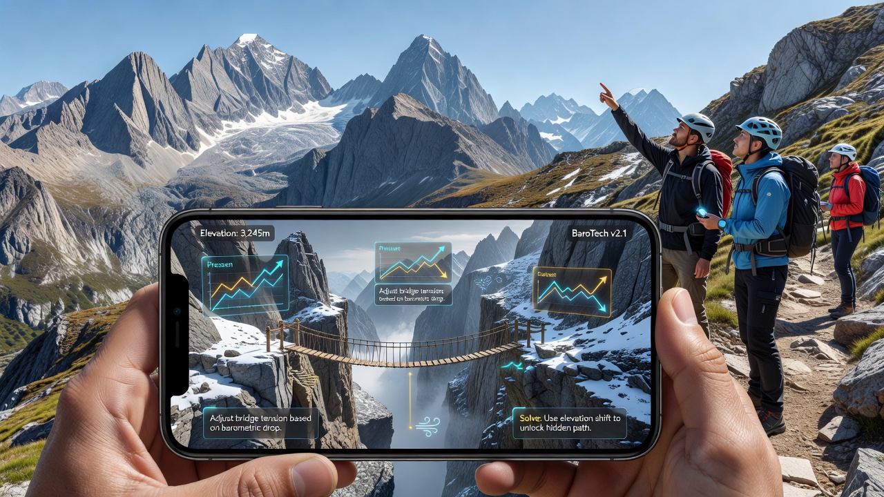
Data from sensor fusion experiments shows that combining barometric input with gyroscope readings improves layer stability during rapid turns or tilts, preventing unwanted layer switches when the device moves sideways rather than vertically. Games therefore require users to hold the phone level while climbing virtual ladders, adding a physical element to puzzle solving. What's interesting is that some developers publish calibration guides tied to specific device models, helping players achieve consistent results across different hardware.
Technical Implementation adn Device Considerations
Android and iOS both expose barometric APIs that return pressure values in hectopascals, and game frameworks convert these into altitude estimates using standard atmospheric models. A report issued by the European Mobile Technology Alliance highlights that newer chipsets include temperature compensation, which further refines accuracy in varying climates. Developers test across multiple phones because sensor placement inside the chassis can affect readings when the device is held in different orientations.
Performance metrics collected during closed beta tests demonstrate that elevation puzzles complete successfully in over 85 percent of sessions once initial calibration finishes, though outdoor environments with wind gusts sometimes require additional filtering algorithms. Those who've studied sensor behavior know that indoor air conditioning can create localized pressure pockets, prompting some games to include optional manual overrides for players in controlled spaces.
Current Examples and Integration Trends
Several adventure series released updates in 2026 that added barometer-driven content, and telemetry data indicates higher engagement on levels that incorporate real elevation changes compared with purely virtual ones. External sources such as Canadian government technology assessments document how these features extend play sessions by encouraging physical movement. Another reference from the Australian Interactive Games Association notes that accessibility options now include sensitivity sliders so users with mobility limitations can still experience the puzzles through simulated inputs.
But here's the thing: integration requires careful fallback logic because not every device carries a barometer, so games detect hardware availability at launch and substitute touch-based altitude sliders when needed. This hybrid approach maintains broad compatibility while preserving the core mechanic for supported phones.
Conclusion
Barometric sensors continue to expand design possibilities in mobile adventure games by linking real altitude changes to puzzle solutions and dynamic map layers. As hardware improves and more titles adopt these techniques through 2026 and beyond, players encounter environments that respond directly to their physical position. Research indicates steady growth in sensor precision, supporting increasingly complex elevation mechanics without extra peripherals.